Explore a category
Places and natural features,
in proportion.
Explore the lengths, areas, heights and depths of rivers, mountains, islands and geographic regions.
Natural boundaries and survey conventions can change geographic measurements. Elevation, relief, route length and mapped area answer different questions.
- Entities
- 55
- Most common primary scale
- Length & distance
- Common measurements
- Area, Volume, Summit elevation above mean sea level, Approximate forest area, Approximate main-channel length, Approximate land area
Within this category's most common primary scale, explore Ombla River at 30 m and Nile at 6,650 km. These are navigation anchors, not universal category limits.
55 entities in this category, ordered by name.
No matches here. Try the main search to explore your own quantity.
55 measured entities
Browse places and natural features
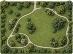 10 hectare park100,000 m²A park is a green space set aside for public recreation and relaxation.
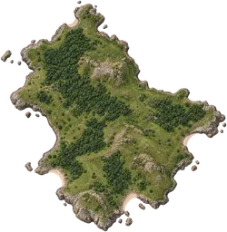 10,000 km² region10,000 km²A region is a large expanse of land defined by geographical or administrative boundaries.
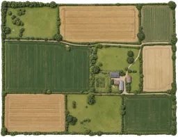 100 hectare farm1 km²A farm is land used for growing crops or raising animals for food production.100 km² island100 km²An island is a landmass entirely surrounded by water.
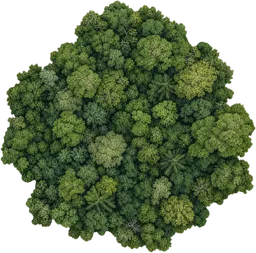 25 km² woodland25 km²A woodland is a tract of land dominated by trees and shrubs, supporting a variety of plant and animal life.
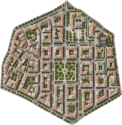 4 km² district4 km²A district is an administrative or informally defined part of a town, city or wider region.50 × 40 m playground2,000 m²A playground is an outdoor space intended for children's recreation and play activities.
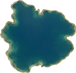 A cubic-kilometre lake1 km³A cubic-kilometre lake is a hypothetical body of freshwater defined as containing exactly one cubic kilometre of water.
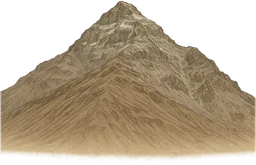 Aconcagua6.961 kmAconcagua is a mountain in the Andes of western Argentina, close to the border with Chile.
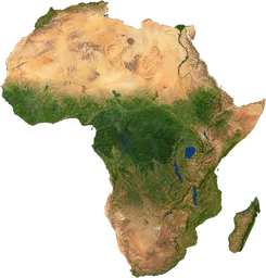 Africa30,370,000 km²Africa is a continent south of Europe, made up of over 50 countries with diverse climates and landscapes.
 All Earth’s water1.386 × 10⁹ km³All Earth’s water includes the combined total of water in oceans, ice, groundwater, lakes, rivers and the atmosphere.
 Amazon rainforest5,500,000 km²The Amazon rainforest is a dense tropical forest in South America, home to a rich diversity of plant and animal life.
 Amazon River6,400 kmThe Amazon River is a major waterway in South America that flows eastward across the continent and drains a vast rainforest basin.
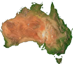 Australia7,692,000 km²Australia is a country and continent located between the Indian and Pacific Oceans in the Southern Hemisphere.Bali5,780 km²Bali is an Indonesian island renowned for its distinctive Hindu culture and vibrant arts scene.
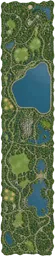 Central Park3.41 km²Central Park is a large public park in the centre of Manhattan, New York City.Challenger Deep10.94 kmChallenger Deep is the deepest known point in the Earth's oceans, located in the Mariana Trench.Comal River4 kmThe Comal River is a natural watercourse in New Braunfels, Texas, that flows from springs to join the Guadalupe River.Congo River4,700 kmThe Congo River is a major waterway in Central Africa, flowing through dense rainforest and forming an extensive drainage basin.Danube2,850 kmThe Danube is a major river in central and eastern Europe, flowing from Germany's Black Forest to the Black Sea.Earth’s oceans1.338 × 10⁹ km³Earth’s oceans are the interconnected bodies of salt water that cover most of the planet’s surface.Grand Canyon446 kmThe Grand Canyon is a vast, steep-sided gorge carved by the Colorado River in northern Arizona, United States.Great Barrier Reef348,000 km²The Great Barrier Reef is a large coral reef system off the coast of Australia, renowned for its extensive marine biodiversity.
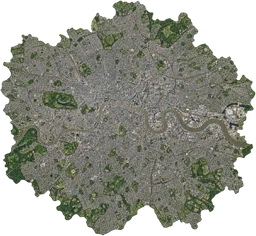 Greater London1,572 km²Greater London is the administrative region encompassing the capital city of the United Kingdom and its surrounding districts.
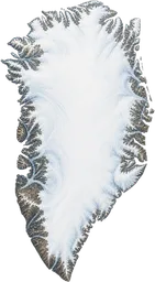 Greenland2,166,000 km²Greenland is a large Arctic island northeast of Canada, mostly covered by an ice sheet and governed as an autonomous territory within Denmark.
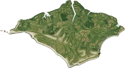 Isle of Wight380 km²The Isle of Wight is an island off the southern coast of England, separated from the mainland by the Solent.
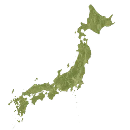 Japan378,000 km²Japan is an island nation in East Asia, located in the Pacific Ocean east of the Korean Peninsula.
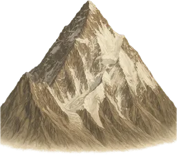 K28.611 kmK2 is a steep mountain in the Karakoram range on the border between Pakistan and China.Lake Baikal31,500 km²Lake Baikal is a deep, ancient freshwater lake in Siberia, Russia, noted for its biodiversity and clear water.Lena4,400 kmThe Lena is a major river in eastern Siberia, Russia, flowing from the Baikal Mountains to the Laptev Sea.
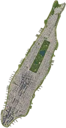 Manhattan59.1 km²Manhattan is an island and borough of New York City, known as a major centre for finance, culture and media.Mekong4,350 kmThe Mekong is a river in Southeast Asia, originating on the Tibetan Plateau and flowing to the South China Sea.
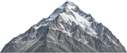 Mount Everest8.849 kmMount Everest is the highest mountain above sea level, located in the Himalayas on the border between Nepal and China.
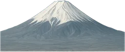 Mount Fuji3.776 kmMount Fuji is a volcanic mountain on the Japanese island of Honshu, recognised by its broad, symmetrical cone.Murray River2,530 kmThe Murray River is a major river in southeastern Australia, flowing from the Snowy Mountains to the Southern Ocean.Nautley River800 mThe Nautley River is a short waterway in British Columbia connecting Fraser Lake to the Nechako River.
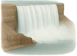 Niagara Falls51 mNiagara Falls is a group of three waterfalls on the Niagara River between Canada and the United States.Nile6,650 kmThe Nile is a prominent river in northeastern Africa, flowing northward through several countries before reaching the Mediterranean Sea.Ob–Irtysh system5,410 kmThe Ob–Irtysh system is a river network in western Siberia, Russia and Kazakhstan, formed by the Ob River and its main tributary, the Irtysh.Ombla River30 mThe Ombla River is a short river near Dubrovnik, Croatia, flowing from a karst spring to a nearby ria.Onyx River32 kmThe Onyx River is a seasonal meltwater stream in Antarctica’s McMurdo Dry Valleys, regarded as the continent’s longest river.Orange River2,100 kmThe Orange River is a principal river in southern Africa, running from the Lesotho Highlands to the Atlantic Ocean.Powell River500 mThe Powell River is a short river in British Columbia flowing from Powell Lake to the Salish Sea.Rhine1,230 kmThe Rhine is a river in western Europe that flows from the Swiss Alps through several countries to the North Sea.River Thames346 kmThe River Thames is a major river in southern England that flows through London and empties into the North Sea.Roe River61 mThe Roe River is a short river in Montana, USA, flowing from Giant Springs to the Missouri River.Sahara9,200,000 km²The Sahara is a vast desert region in North Africa, characterised by arid climate and extensive sand dunes.Seine777 kmThe Seine is a river in northern France that passes through Paris and flows into the English Channel.
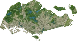 Singapore735 km²Singapore is a sovereign city-state and island nation at the southern tip of the Malay Peninsula.
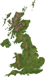 United Kingdom243,600 km²The United Kingdom is a country in north-western Europe comprising England, Scotland, Wales and Northern Ireland.Volga3,530 kmThe Volga is a river in central Russia, running from the Valdai Hills to the Caspian Sea.Yarlung Tsangpo Grand Canyon504 kmThe Yarlung Tsangpo Grand Canyon is a deep river gorge in Tibet, following the Yarlung Tsangpo River through the Himalayas.Yellow River5,464 kmThe Yellow River, or Huang He, is a major river in northern China, flowing from the Bayan Har Mountains to the Bohai Sea.
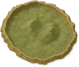 Yellowstone Caldera70 kmThe Yellowstone Caldera is a large volcanic collapse structure within Yellowstone National Park in the United States.Yenisei5,539 kmThe Yenisei is a major river in Siberia, Russia, flowing northwards from Mongolia to the Arctic Ocean.