
Lake Baikal
Lake Baikal is a deep, ancient freshwater lake in Siberia, Russia, noted for its biodiversity and clear water.
Also known as: Baikal
How big is it?
31,500 km² · surface area
Surface area · approximate
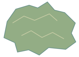
A little perspective
Lake Baikal vs 10,000 km² region: area comparison
The surface area of Lake Baikal is about 3.15 times the area of a 10,000 km² region.
Lake Baikal is a deep, ancient freshwater lake in Siberia, Russia, noted for its biodiversity and clear water.
Too small to see at this scale. The ring marks its true-scale position, not its area. The shape has not been enlarged.
A region is a large expanse of land defined by geographical or administrative boundaries.
Too small to see at this scale. The ring marks its true-scale position, not its area. The shape has not been enlarged.
Measurements, assumptions & sources +
Lake Baikal
Surface area: 31,500 km²; approximate.
UNESCO describes Lake Baikal as about 3.15 million hectares in surface area and roughly 1,700 m deep. Shoreline and survey conventions affect exact figures.
UNESCO World Heritage Centre — Lake Baikal
The marked surface area is calibrated. Unmeasured illustration details are representative.
10,000 km² region
Area: 10,000 km²; example.
Defined 100 × 100 km equal-area rectangle. A teaching example, not a named place or actual boundary.
Defined examples — our methodology
The marked area is calibrated. Unmeasured illustration details are representative.
Use the visual comparison to explore its scale, then check the measurements and sources.
Change your perspective
Put it next to…
Choose a suggestion to redraw the comparison, or open its page to learn what it is.
Why this measurement?
Why we use 31,500 km²
We compare the surface area of Lake Baikal. This is an estimate; check the notes for its rounding and uncertainty.
UNESCO describes Lake Baikal as about 3.15 million hectares in surface area and roughly 1,700 m deep. Shoreline and survey conventions affect exact figures.
The picture identifies the subject; the diagram compares the recorded values. How calibrated comparisons work →
Recorded properties
Dimensions and measurements
| Property | Selected value | Recorded range | Basis |
|---|---|---|---|
| 31,500 km² | Not recorded | approximate | |
| 1.7 km | 1.64 km to 1.7 km | approximate |
Around this scale
Explore nearby values.
Compare examples with lower, similar and higher values. Each card names the measurement being compared.
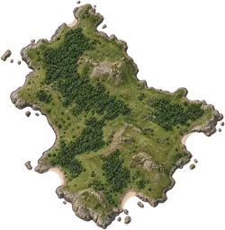 Nearest lower valuePlaces and natural features10,000 km² region10,000 km²AreaA region is a large expanse of land defined by geographical or administrative boundaries.
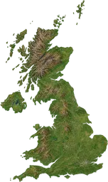 Nearest higher valuePlaces and natural featuresUnited Kingdom243,600 km²AreaThe United Kingdom is a country in north-western Europe comprising England, Scotland, Wales and Northern Ireland.
Sources and method
Want to check the number?
The source records and measurement method remain available for inspection.
- UNESCO World Heritage Centre — Lake BaikalApproximately 3.15 million hectares and about 1,700 m deep.
There’s always another scale
Follow your curiosity.
 PlacesEarth’s oceans1.338 × 10⁹ km³Earth’s oceans are the interconnected bodies of salt water that cover most of the planet’s surface.
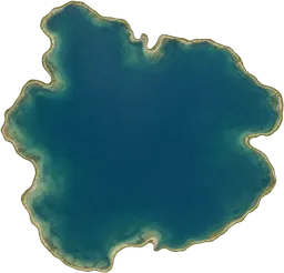 PlacesA cubic-kilometre lake1 km³A cubic-kilometre lake is a hypothetical body of freshwater defined as containing exactly one cubic kilometre of water.Places10,000 km² region10,000 km²A region is a large expanse of land defined by geographical or administrative boundaries.PlacesUnited Kingdom243,600 km²The United Kingdom is a country in north-western Europe comprising England, Scotland, Wales and Northern Ireland.
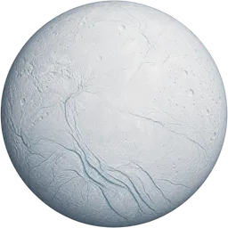 SpaceEnceladus504.2 kmEnceladus is a natural satellite of Saturn, with an icy surface and plumes of water vapour erupting from its south pole.
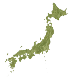 PlacesJapan378,000 km²Japan is an island nation in East Asia, located in the Pacific Ocean east of the Korean Peninsula.
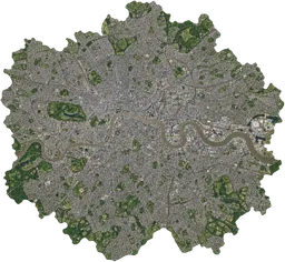 PlacesGreater London1,572 km²Greater London is the administrative region encompassing the capital city of the United Kingdom and its surrounding districts.PlacesBali5,780 km²Bali is an Indonesian island renowned for its distinctive Hindu culture and vibrant arts scene.