
Aconcagua
Aconcagua is a mountain in the Andes of western Argentina, close to the border with Chile.
Also known as: Mount Aconcagua
How big is it?
6.961 km · summit elevation above mean sea level
Also 4.325 mi
Summit elevation above mean sea level · specified
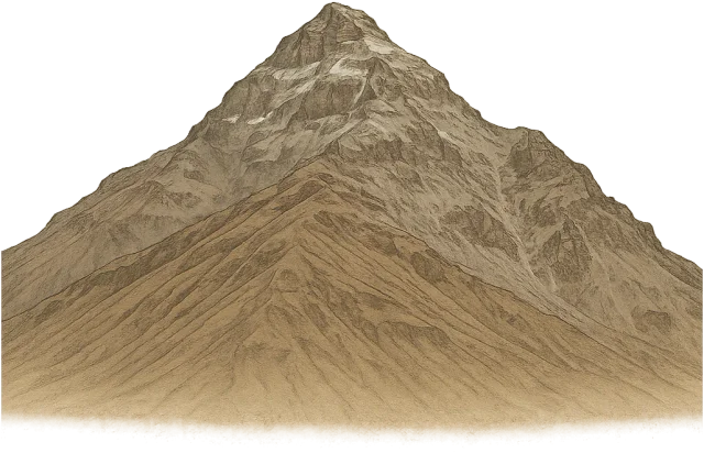
A little perspective
Aconcagua vs Challenger Deep: length comparison
The depth of Challenger Deep is about 1.57 times the summit elevation above mean sea level of Aconcagua.
Aconcagua is a mountain in the Andes of western Argentina, close to the border with Chile.
Challenger Deep is the deepest known point in the Earth's oceans, located in the Mariana Trench.
Both rulers start at the same zero and share one linear scale. Artwork keeps its original proportions. Horizontal rulers compare the selected spans; vertical brackets also identify height on the artwork. A ruler represents the selected distance or a measurement not visible in this view.
Measurements, assumptions & sources +
Aconcagua
Summit elevation above mean sea level: 6.961 km; specified.
Aconcagua’s summit is 6,961 m above mean sea level. This is elevation, not vertical height above its local base; the mountain silhouette is contextual.
Encyclopaedia Britannica — Aconcagua
The marked summit elevation above mean sea level is calibrated. Unmeasured illustration details are representative.
Challenger Deep
Depth: 10.94 km; approximate.
About 10,935 m below the ocean surface in the Mariana Trench. Depth estimates vary by survey. The line shows depth, not the trench’s width.
The marked depth is calibrated. Unmeasured illustration details are representative.
Use the visual comparison to explore its scale, then check the measurements and sources.
Change your perspective
Put it next to…
Choose a suggestion to redraw the comparison, or open its page to learn what it is.
Why this measurement?
Why we use 6.961 km
We compare the summit elevation above mean sea level of Aconcagua. This value follows a stated specification; check its scope in the notes.
Aconcagua’s summit is 6,961 m above mean sea level. This is elevation, not vertical height above its local base; the mountain silhouette is contextual.
The marked vertical span follows the measured feature, not the edges of the image. How calibrated comparisons work →
Recorded properties
Dimensions and measurements
| Property | Selected value | Recorded range | Basis |
|---|---|---|---|
| 6.961 km | Not recorded | specified |
Around this scale
Explore nearby values.
Compare examples with lower, similar and higher values. Each card names the measurement being compared.
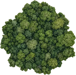 Nearest lower valuePlaces and natural features25 km² woodland5 kmWidthA woodland is a tract of land dominated by trees and shrubs, supporting a variety of plant and animal life.
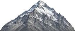 Around the same scalePlaces and natural featuresMount Everest8.849 kmHeightMount Everest is the highest mountain above sea level, located in the Himalayas on the border between Nepal and China.
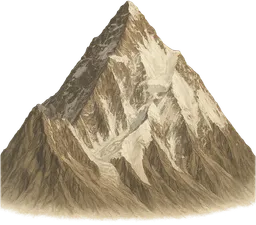 Nearest higher valuePlaces and natural featuresK28.611 kmSummit elevation above mean sea levelK2 is a steep mountain in the Karakoram range on the border between Pakistan and China.
Sources and method
Want to check the number?
The source records and measurement method remain available for inspection.
- Encyclopaedia Britannica — AconcaguaSummit elevation of 6,961 m above mean sea level.
There’s always another scale
Follow your curiosity.
PlacesMount Everest8.849 kmMount Everest is the highest mountain above sea level, located in the Himalayas on the border between Nepal and China.PlacesK28.611 kmK2 is a steep mountain in the Karakoram range on the border between Pakistan and China. PlacesChallenger Deep10.94 kmChallenger Deep is the deepest known point in the Earth's oceans, located in the Mariana Trench.
 SpaceDeimos12.4 kmDeimos is the smaller and outermost natural satellite of Mars, with an irregular, rocky shape.PeopleOne-hour walk5 kmA one-hour walk is the distance a person travels by walking continuously at a steady pace for one hour.Places25 km² woodland25 km²A woodland is a tract of land dominated by trees and shrubs, supporting a variety of plant and animal life.Built world3 km runway3 kmA runway is a paved strip at an airport where aircraft take off and land.
 SpaceNeutron star20 kmA neutron star is the dense remnant core left after a massive star explodes as a supernova, composed mostly of neutrons.