
3 km runway
A runway is a paved strip at an airport where aircraft take off and land.
How big is it?
3 km long
Also 1.864 mi
Length · example
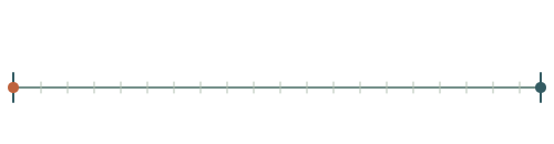
A little perspective
3 km runway vs Lake Baikal: length comparison
The length of a 3 km runway is about 1.76 times the maximum depth of Lake Baikal.
Lake Baikal is a deep, ancient freshwater lake in Siberia, Russia, noted for its biodiversity and clear water.
Both rulers start at the same zero and share one linear scale. Artwork keeps its original proportions. A ruler represents the selected distance or a measurement not visible in this view.
Measurements, assumptions & sources +
3 km runway
Length: 3 km; example.
A 3,000 × 45 m runway example; excludes taxiways and safety areas.
Defined examples — our methodology
The marked length is calibrated. Unmeasured illustration details are representative.
Lake Baikal
Maximum depth: 1.7 km; approximate; range 1.64 km–1.7 km.
UNESCO describes Lake Baikal as about 3.15 million hectares in surface area and roughly 1,700 m deep. Shoreline and survey conventions affect exact figures.
UNESCO World Heritage Centre — Lake Baikal
The marked maximum depth is calibrated. Unmeasured illustration details are representative.
Use the visual comparison to explore its scale, then check the measurements and sources.
Change your perspective
Put it next to…
Choose a suggestion to redraw the comparison, or open its page to learn what it is.
Why this measurement?
Why we use 3 km
We compare the length of a 3 km runway. This is an illustrative comparison value, not a claim that every example is the same.
A 3,000 × 45 m runway example; excludes taxiways and safety areas.
The marked horizontal span follows the measured feature, not the edges of the image. How calibrated comparisons work →
Recorded properties
Dimensions and measurements
| Property | Selected value | Recorded range | Basis |
|---|---|---|---|
| 3 km | Not recorded | example | |
| 135,000 m² | Not recorded | example | |
| 45 m | Not recorded | example | |
| 3 km | Not recorded | example |
Around this scale
Explore nearby values.
Compare examples with lower, similar and higher values. Each card names the measurement being compared.
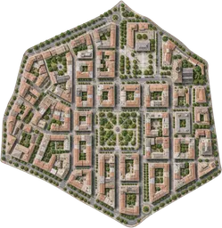 Nearest lower valuePlaces and natural features4 km² district2 kmWidthA district is an administrative or informally defined part of a town, city or wider region.Around the same scalePlaces and natural featuresComal River4 kmApproximate main-channel lengthThe Comal River is a natural watercourse in New Braunfels, Texas, that flows from springs to join the Guadalupe River.
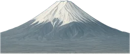 Nearest higher valuePlaces and natural featuresMount Fuji3.776 kmSummit elevation above mean sea levelMount Fuji is a volcanic mountain on the Japanese island of Honshu, recognised by its broad, symmetrical cone.
Sources and method
Want to check the number?
The source records and measurement method remain available for inspection.
There’s always another scale
Follow your curiosity.
 PlacesLake Baikal31,500 km²Lake Baikal is a deep, ancient freshwater lake in Siberia, Russia, noted for its biodiversity and clear water.PeopleOne-hour walk5 kmA one-hour walk is the distance a person travels by walking continuously at a steady pace for one hour.Places4 km² district4 km²A district is an administrative or informally defined part of a town, city or wider region.
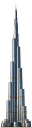 Built worldBurj Khalifa828 mBurj Khalifa is a skyscraper in Dubai, United Arab Emirates, completed in 2010.
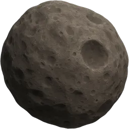 SpaceDeimos12.4 kmDeimos is the smaller and outermost natural satellite of Mars, with an irregular, rocky shape.
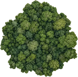 Places25 km² woodland25 km²A woodland is a tract of land dominated by trees and shrubs, supporting a variety of plant and animal life.Built world1 km road section1 kmA road is a constructed route for vehicles, usually surfaced with materials such as asphalt or concrete to support regular traffic.
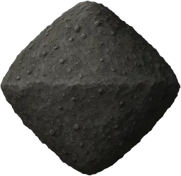 SpaceBennu asteroid492 mBennu is a near-Earth asteroid with a rubble-pile structure and a roughly top-shaped body.