Comal River
The Comal River is a natural watercourse in New Braunfels, Texas, that flows from springs to join the Guadalupe River.
Also known as: Comal River Texas
How big is it?
4 km long
Also 2.485 mi
Approximate main-channel length · approximate
Typical recorded range: 3.6 km to 4.4 km.
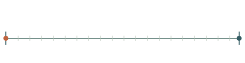
A little perspective
One-hour walk is about 1.25 times larger on this measurement.
One-hour walk: A one-hour walk is the distance a person travels by walking continuously at a steady pace for one hour.
Measurements, assumptions & sources +
Comal River
The Comal River in New Braunfels, Texas, runs approximately 4 km from its springs to the Guadalupe River. Channel and endpoint conventions affect quoted lengths.
Texas State Historical Association — Comal River
The marked approximate main-channel length is calibrated. Unmeasured illustration details are representative.
One-hour walk
Distance at a constant 5 km/h for one hour, without stops. This is a chosen pace, not a personal prediction.
Defined examples — our methodology
The marked distance is calibrated. Unmeasured illustration details are representative.
Change your perspective
Put it next to…
Choose a suggestion to redraw the comparison, or open its page to learn what it is.
Why this measurement?
Why we use 4 km
For comparison, this page uses approximate main-channel length. This is labelled approximate; the central value is useful for comparison, while real values or measurement solutions can vary. The recorded range is 3.6 km to 4.4 km.
The Comal River in New Braunfels, Texas, runs approximately 4 km from its springs to the Guadalupe River. Channel and endpoint conventions affect quoted lengths.
The marked horizontal span follows the named feature; transparent margins and unmeasured details do not alter it. How calibrated comparisons work →
Recorded properties
Comal River dimensions and measurements
| Property | Selected value | Recorded range | Basis |
|---|---|---|---|
| 4 km | 3.6 km to 4.4 km | approximate |
Around this scale
Go smaller. Go bigger.
These links use compatible length records, ordered around the selected value.
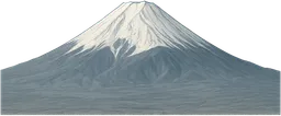 Nearest lower value · PlacesMount Fuji3.776 kmMount Fuji is a volcanic mountain on the Japanese island of Honshu, recognised by its broad, symmetrical cone.Around the same scale · PeopleOne-hour walk5 kmA one-hour walk is the distance a person travels by walking continuously at a steady pace for one hour.
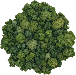 Nearest higher value · Places25 km² woodland5 kmA woodland is a tract of land dominated by trees and shrubs, supporting a variety of plant and animal life.
Sources and method
Want to check the number?
The source records and measurement method remain available for inspection.
- Texas State Historical Association — Comal RiverRiver source, course and approximate length at New Braunfels.
There’s always another scale
Follow your curiosity.
PlacesNautley River800 mThe Nautley River is a short waterway in British Columbia connecting Fraser Lake to the Nechako River.PlacesRoe River61 mThe Roe River is a short river in Montana, USA, flowing from Giant Springs to the Missouri River.PeopleOne-hour walk5 kmA one-hour walk is the distance a person travels by walking continuously at a steady pace for one hour.Built world3 km runway3 kmA runway is a paved strip at an airport where aircraft take off and land.Places25 km² woodland25 km²A woodland is a tract of land dominated by trees and shrubs, supporting a variety of plant and animal life.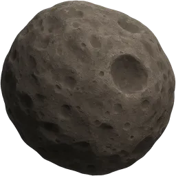 SpaceDeimos12.4 kmDeimos is the smaller and outermost natural satellite of Mars, with an irregular, rocky shape.
 PlacesLake Baikal31,500 km²Lake Baikal is a deep, ancient freshwater lake in Siberia, Russia, noted for its biodiversity and clear water.PlacesChallenger Deep10.94 kmChallenger Deep is the deepest known point in the Earth's oceans, located in the Mariana Trench.