Mount Everest
Mount Everest is the highest mountain above sea level, located in the Himalayas on the border between Nepal and China.
How big is it?
8.849 km tall
Also 5.498 mi
Height · rounded landmark reference
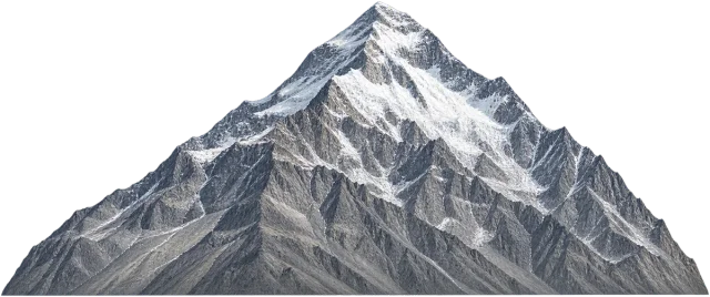
A little perspective
Challenger Deep is about 1.24 times larger on this measurement.
Challenger Deep: Challenger Deep is the deepest known point in the Earth's oceans, located in the Mariana Trench.
Measurements, assumptions & sources +
Mount Everest
A rounded modern elevation anchor of 8,848.86 m above mean sea level. This is elevation, not the mountain’s height above its local base. The illustrated silhouette uses an implied sea-level baseline; it is not a surveyed mountain cross-section.
Defined examples — our methodology
The marked height is calibrated. Unmeasured illustration details are representative.
Challenger Deep
About 10,935 m below the ocean surface in the Mariana Trench. Depth estimates vary by survey. The line shows depth, not the trench’s width.
The marked depth is calibrated. Unmeasured illustration details are representative.
Change your perspective
Put it next to…
Choose a suggestion to redraw the comparison, or open its page to learn what it is.
Why this measurement?
Why we use 8.849 km
For comparison, this page uses height. This is labelled rounded landmark reference: an explicit comparison model rather than a claim that every example has the same value.
A rounded modern elevation anchor of 8,848.86 m above mean sea level. This is elevation, not the mountain’s height above its local base. The illustrated silhouette uses an implied sea-level baseline; it is not a surveyed mountain cross-section.
The marked vertical span follows the named feature; transparent margins and unmeasured details do not alter it. How calibrated comparisons work →
Recorded properties
Mount Everest dimensions and measurements
| Property | Selected value | Recorded range | Basis |
|---|---|---|---|
| 8.849 km | Not recorded | rounded landmark reference |
Around this scale
Go smaller. Go bigger.
These links use compatible length records, ordered around the selected value.
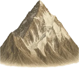 Nearest lower value · PlacesK28.611 kmK2 is a steep mountain in the Karakoram range on the border between Pakistan and China.
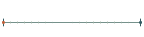 Around the same scale · PlacesChallenger Deep10.94 kmChallenger Deep is the deepest known point in the Earth's oceans, located in the Mariana Trench.
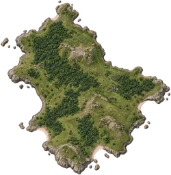 Nearest higher value · Places100 km² island10 kmAn island is a landmass entirely surrounded by water.
Sources and method
Want to check the number?
The source records and measurement method remain available for inspection.
More ways to see it
Curated comparisons
There’s always another scale
Follow your curiosity.
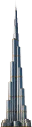 Built worldBurj Khalifa828 mBurj Khalifa is a skyscraper in Dubai, United Arab Emirates, completed in 2010.
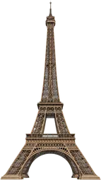 Built worldEiffel Tower330 mThe Eiffel Tower is a wrought-iron lattice structure in Paris, France, and a famous global landmark.
 PeopleHuman1.75 mA human is a primate of the species Homo sapiens, distinguished by habitual upright walking, language and complex tool use.PlacesChallenger Deep10.94 kmChallenger Deep is the deepest known point in the Earth's oceans, located in the Mariana Trench.
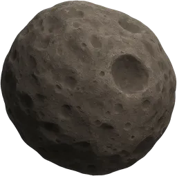 SpaceDeimos12.4 kmDeimos is the smaller and outermost natural satellite of Mars, with an irregular, rocky shape.Places100 km² island100 km²An island is a landmass entirely surrounded by water.PeopleOne-hour walk5 kmA one-hour walk is the distance a person travels by walking continuously at a steady pace for one hour.
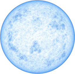 SpaceNeutron star20 kmA neutron star is the dense remnant core left after a massive star explodes as a supernova, composed mostly of neutrons.