
Sahara
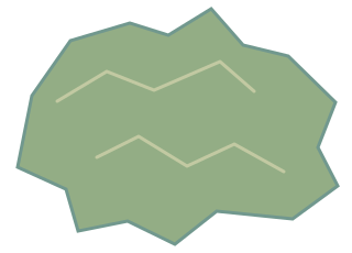
The Sahara is a vast desert region in North Africa, characterised by arid climate and extensive sand dunes.
Also known as: Sahara Desert
How big is it?
9,200,000 km² · approximate desert area
Approximate desert area · approximate
Typical recorded range: 8,800,000 km² to 9,400,000 km².
A little perspective
Sahara vs Australia: area comparison
The desert area of the Sahara is about 1.2 times the area of Australia.
The Sahara is a vast desert region in North Africa, characterised by arid climate and extensive sand dunes.
Too small to see at this scale. The ring marks its true-scale position, not its area. The shape has not been enlarged.
Australia is a country and continent located between the Indian and Pacific Oceans in the Southern Hemisphere.
Too small to see at this scale. The ring marks its true-scale position, not its area. The shape has not been enlarged.
Measurements, assumptions & sources +
Sahara
Approximate desert area: 9,200,000 km²; approximate; range 8,800,000 km²–9,400,000 km².
The Sahara covers about 9.2 million km² under a broad geographic convention. Desert margins shift and definitions differ; the equal-area symbol is not a boundary map.
Encyclopaedia Britannica — Sahara
The marked approximate desert area is calibrated. Unmeasured illustration details are representative.
Australia
Area: 7,692,000 km²; rounded geography model.
A rounded 7,692,024 km² country-area anchor.
Defined examples — our methodology
The marked area is calibrated. Unmeasured illustration details are representative.
Use the visual comparison to explore its scale, then check the measurements and sources.
Change your perspective
Put it next to…
Choose a suggestion to redraw the comparison, or open its page to learn what it is.
Why this measurement?
Why we use 9,200,000 km²
We compare the desert area of the Sahara. This is an estimate; check the notes for its rounding and uncertainty. The recorded range is 8,800,000 km² to 9,400,000 km².
The Sahara covers about 9.2 million km² under a broad geographic convention. Desert margins shift and definitions differ; the equal-area symbol is not a boundary map.
The picture identifies the subject; the diagram compares the recorded values. How calibrated comparisons work →
Recorded properties
Dimensions and measurements
| Property | Selected value | Recorded range | Basis |
|---|---|---|---|
| 9,200,000 km² | 8,800,000 km² to 9,400,000 km² | approximate |
Around this scale
Explore nearby values.
Compare examples with lower, similar and higher values. Each card names the measurement being compared.
Nearest lower valuePlaces and natural featuresAmazon rainforest5,500,000 km²Approximate forest areaThe Amazon rainforest is a dense tropical forest in South America, home to a rich diversity of plant and animal life.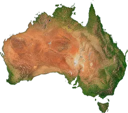 Around the same scalePlaces and natural featuresAustralia7,692,000 km²AreaAustralia is a country and continent located between the Indian and Pacific Oceans in the Southern Hemisphere.
 Nearest higher valuePlanets, moons and spaceEris17,000,000 km²AreaEris is a dwarf planet in the scattered disc region beyond Neptune, composed of rock and ice.
Sources and method
Want to check the number?
The source records and measurement method remain available for inspection.
- Encyclopaedia Britannica — SaharaApproximate desert area under a broad geographic convention.
There’s always another scale
Follow your curiosity.
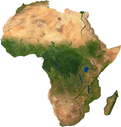 PlacesAfrica30,370,000 km²Africa is a continent south of Europe, made up of over 50 countries with diverse climates and landscapes.PlacesAmazon rainforest5,500,000 km²The Amazon rainforest is a dense tropical forest in South America, home to a rich diversity of plant and animal life.PlacesAustralia7,692,000 km²Australia is a country and continent located between the Indian and Pacific Oceans in the Southern Hemisphere.
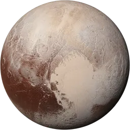 SpacePluto2,377 kmPluto is a dwarf planet in the Kuiper Belt, composed of rock and ice and orbiting the Sun.
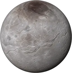 SpaceCharon1,212 kmCharon is a natural satellite of Pluto, composed mainly of rock and water ice.SpaceEris2,326 kmEris is a dwarf planet in the scattered disc region beyond Neptune, composed of rock and ice.
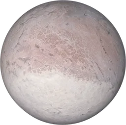 SpaceTriton2,705 kmTriton is a natural satellite of Neptune, with a retrograde orbit and a surface of frozen nitrogen.
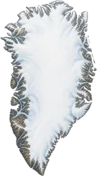 PlacesGreenland2,166,000 km²Greenland is a large Arctic island northeast of Canada, mostly covered by an ice sheet and governed as an autonomous territory within Denmark.