
Central Park
Central Park is a large public park in the centre of Manhattan, New York City.
How big is it?
3.41 km² · area
Area · rounded geography model
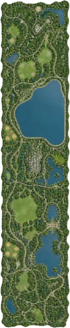
A little perspective
Central Park vs 4 km² district: area comparison
A 4 km² district has about 1.17 times the area of Central Park.
Central Park is a large public park in the centre of Manhattan, New York City.
Too small to see at this scale. The ring marks its true-scale position, not its area. The shape has not been enlarged.
A district is an administrative or informally defined part of a town, city or wider region.
Too small to see at this scale. The ring marks its true-scale position, not its area. The shape has not been enlarged.
Measurements, assumptions & sources +
Central Park
Area: 3.41 km²; rounded geography model.
A rounded 3.41 km² park-area anchor. The diagram is an equal-area shape, not a map.
Defined examples — our methodology
The marked area is calibrated. Unmeasured illustration details are representative.
4 km² district
Area: 4 km²; example.
Defined 2 × 2 km equal-area rectangle. A teaching example, not a named place or actual boundary.
Defined examples — our methodology
The marked area is calibrated. Unmeasured illustration details are representative.
Use the visual comparison to explore its scale, then check the measurements and sources.
Change your perspective
Put it next to…
Choose a suggestion to redraw the comparison, or open its page to learn what it is.
Why this measurement?
Why we use 3.41 km²
We compare the area of Central Park. This is an illustrative comparison value, not a claim that every example is the same.
A rounded 3.41 km² park-area anchor. The diagram is an equal-area shape, not a map.
The picture identifies the subject; the diagram compares the recorded values. How calibrated comparisons work →
Recorded properties
Dimensions and measurements
| Property | Selected value | Recorded range | Basis |
|---|---|---|---|
| 3.41 km² | Not recorded | rounded geography model |
Around this scale
Explore nearby values.
Compare examples with lower, similar and higher values. Each card names the measurement being compared.
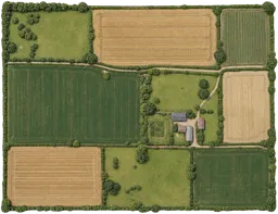 Nearest lower valuePlaces and natural features100 hectare farm1 km²AreaA farm is land used for growing crops or raising animals for food production.
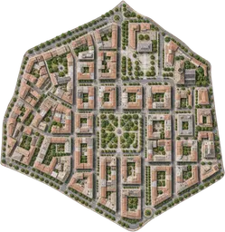 Nearest higher valuePlaces and natural features4 km² district4 km²AreaA district is an administrative or informally defined part of a town, city or wider region.
Sources and method
Want to check the number?
The source records and measurement method remain available for inspection.
More ways to see it
Curated comparisons
There’s always another scale
Follow your curiosity.
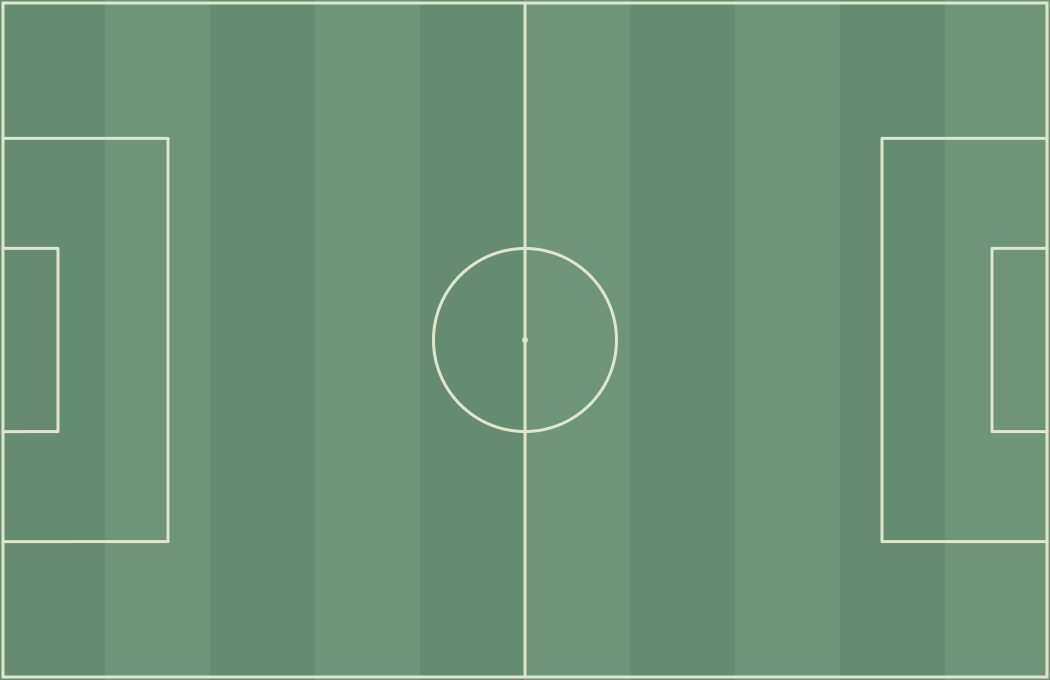 SportFootball pitch105 mA football pitch is the marked rectangular playing surface used for association football.
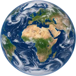 SpaceEarth12,740 kmEarth is the rocky planet on which we live and the third planet from the Sun.Places4 km² district4 km²A district is an administrative or informally defined part of a town, city or wider region.Places100 hectare farm1 km²A farm is land used for growing crops or raising animals for food production.
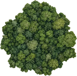 Places25 km² woodland25 km²A woodland is a tract of land dominated by trees and shrubs, supporting a variety of plant and animal life.
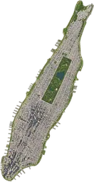 PlacesManhattan59.1 km²Manhattan is an island and borough of New York City, known as a major centre for finance, culture and media.
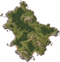 Places100 km² island100 km²An island is a landmass entirely surrounded by water.
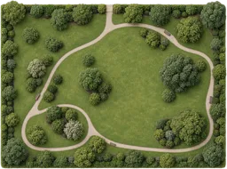 Places10 hectare park100,000 m²A park is a green space set aside for public recreation and relaxation.