
Yellowstone Caldera
The Yellowstone Caldera is a large volcanic collapse structure within Yellowstone National Park in the United States.
Also known as: Yellowstone supervolcano caldera
How big is it?
70 km · approximate long axis
Also 43.5 mi
Approximate long axis · approximate
Typical recorded range: 65 km to 75 km.

A little perspective
Yellowstone Caldera vs One-hour drive at 100 km/h: length comparison
The distance of a one-hour drive at 100 km/h is about 1.43 times the long axis of the Yellowstone Caldera.

The Yellowstone Caldera is a large volcanic collapse structure within Yellowstone National Park in the United States.
A one-hour drive at a set speed is the distance a vehicle travels in one hour of uninterrupted motion.
Both rulers start at the same zero and share one linear scale. Artwork keeps its original proportions. A ruler represents the selected distance or a measurement not visible in this view.
Measurements, assumptions & sources +
Yellowstone Caldera
Approximate long axis: 70 km; approximate; range 65 km–75 km.
Yellowstone’s youngest caldera is approximately 70 km by 45 km. The measured lines are broad map-scale axes, not a surveyed rim or hiking route.
The marked approximate long axis is calibrated. Unmeasured illustration details are representative.
One-hour drive at 100 km/h
Distance: 100 km; example.
A defined distance at a constant speed, excluding delays.
Defined examples — our methodology
The marked distance is calibrated. Unmeasured illustration details are representative.
Use the visual comparison to explore its scale, then check the measurements and sources.
Change your perspective
Put it next to…
Choose a suggestion to redraw the comparison, or open its page to learn what it is.
Why this measurement?
Why we use 70 km
We compare the long axis of the Yellowstone Caldera. This is an estimate; check the notes for its rounding and uncertainty. The recorded range is 65 km to 75 km.
Yellowstone’s youngest caldera is approximately 70 km by 45 km. The measured lines are broad map-scale axes, not a surveyed rim or hiking route.
The marked horizontal span follows the measured feature, not the edges of the image. How calibrated comparisons work →
Recorded properties
Dimensions and measurements
| Property | Selected value | Recorded range | Basis |
|---|---|---|---|
| 70 km | 65 km to 75 km | approximate | |
| 45 km | 40 km to 50 km | approximate |
Around this scale
Explore nearby values.
Compare examples with lower, similar and higher values. Each card names the measurement being compared.
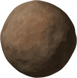 Nearest lower valuePlanets, moons and spaceMetis43 kmMean-equivalent diameterMetis is an irregularly shaped inner moon of Jupiter, orbiting close to the planet's cloud tops.
 Around the same scaleVehicles and transportOne-hour drive at 100 km/h100 kmDistanceA one-hour drive at a set speed is the distance a vehicle travels in one hour of uninterrupted motion.
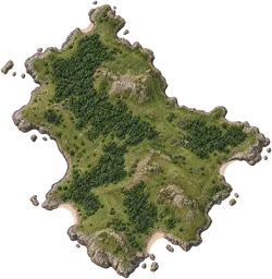 Nearest higher valuePlaces and natural features10,000 km² region100 kmWidthA region is a large expanse of land defined by geographical or administrative boundaries.
Sources and method
Want to check the number?
The source records and measurement method remain available for inspection.
- USGS — Yellowstone calderaApproximate 70 by 45 kilometre dimensions of the youngest Yellowstone caldera.
There’s always another scale
Follow your curiosity.
 PlacesMount Fuji3.776 kmMount Fuji is a volcanic mountain on the Japanese island of Honshu, recognised by its broad, symmetrical cone.TransportOne-hour drive at 100 km/h100 kmA one-hour drive at a set speed is the distance a vehicle travels in one hour of uninterrupted motion.Places10,000 km² region10,000 km²A region is a large expanse of land defined by geographical or administrative boundaries.
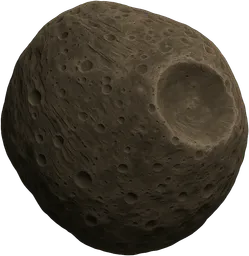 SpacePhobos22.53 kmPhobos is the larger and innermost moon of Mars, notable for its irregular shape and heavily cratered surface.PeopleOne-hour cycle20 kmA one-hour cycle is the distance covered by cycling at a constant speed for one hour without stopping.
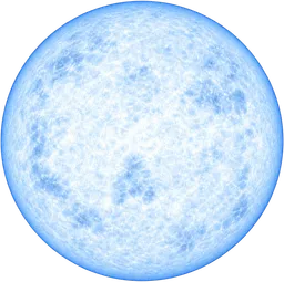 SpaceNeutron star20 kmA neutron star is the dense remnant core left after a massive star explodes as a supernova, composed mostly of neutrons.PlacesChallenger Deep10.94 kmChallenger Deep is the deepest known point in the Earth's oceans, located in the Mariana Trench.
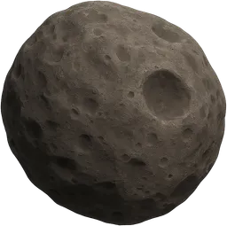 SpaceDeimos12.4 kmDeimos is the smaller and outermost natural satellite of Mars, with an irregular, rocky shape.